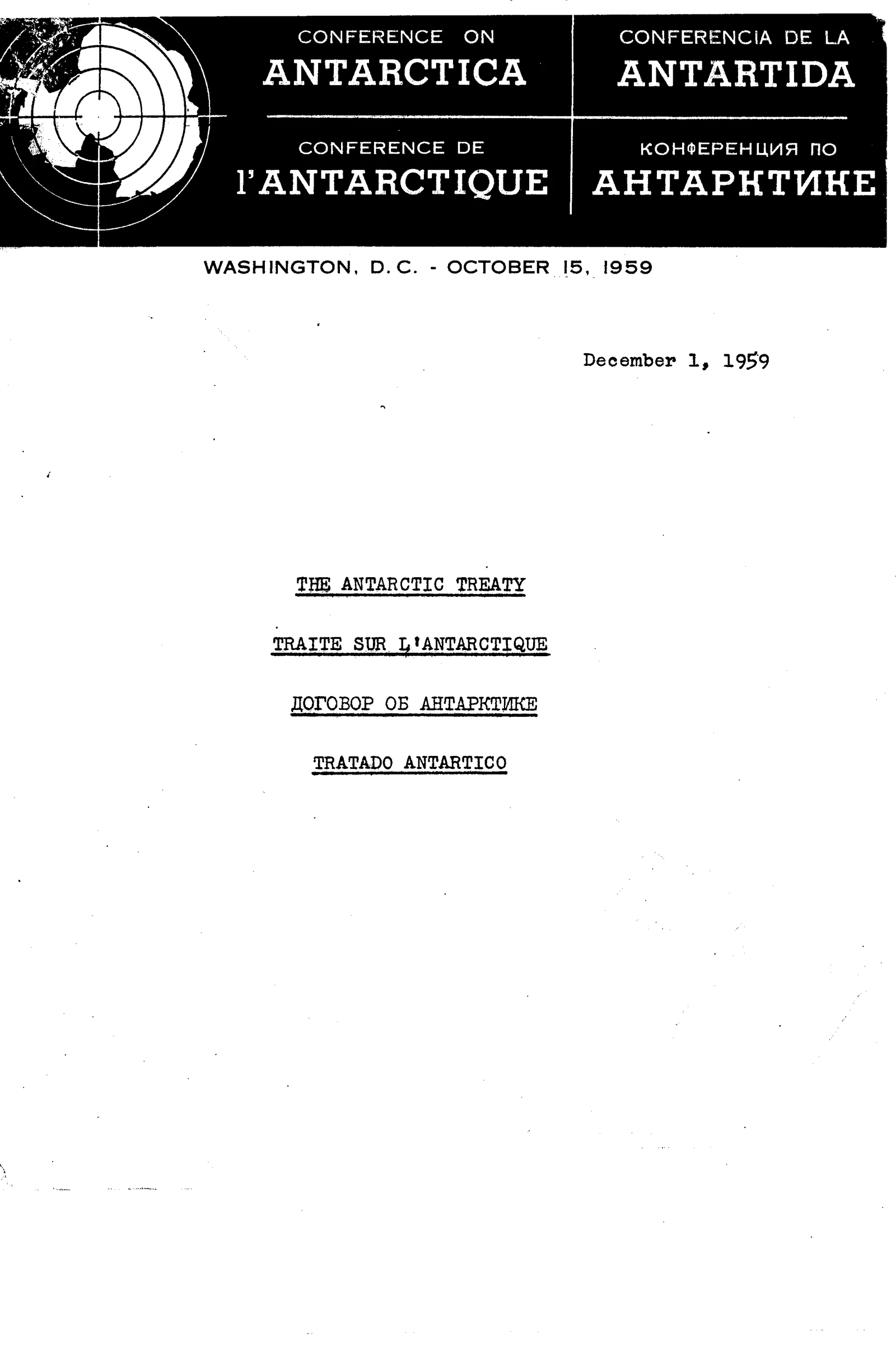
On 1 December 1959, at the end of a seven-week conference in Washington, twelve governments signed the Antarctic Treaty: Argentina, Australia, Belgium, Chile, France, Japan, New Zealand, Norway, South Africa, the Soviet Union, the United Kingdom and the United States. It covers everything south of 60 degrees south latitude, "including all ice shelves." It is still in force.
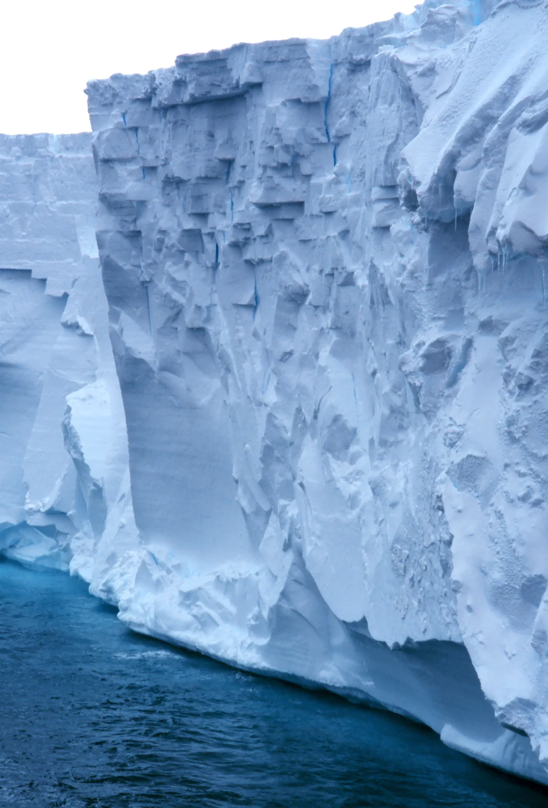
What it covers is a continent of ice: a white plateau with mountains buried to their shoulders, and an edge that drops in cliffs of ice to the sea.
The treaty says three things about it. Nobody may use it for war. Nobody may press a new claim to it. And the governments that run the treaty may send observers there with "complete freedom of access at any time to any or all areas."
A continent set aside by treaty.
Ever since, people have asked why.
Washington, 1959
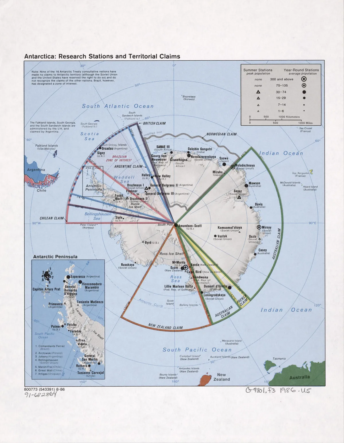
The Conference on Antarctica sat in Washington from 15 October to 1 December 1959, according to the State Department's own history, and the treaty was signed at its final plenary session. The twelve countries were those whose scientists had been at work on the ice during the International Geophysical Year of 1957 and 1958. Seven of them, Argentina, Australia, Chile, France, New Zealand, Norway and the United Kingdom, claimed slices of the continent, some of them overlapping.
The treaty came into force on Friday, 23 June 1961, at noon, when Argentina, Australia and Chile deposited their ratifications together. President Kennedy marked the day: "I wish to express my profound satisfaction on the occasion of the entry into force today of the Antarctic Treaty." The signed original lies in the archives of the United States government. A certified copy, dated the day after the signing, sits in the records of the treaty's secretariat.
What the treaty says
Its words are short and plain. Article I: "Antarctica shall be used for peaceful purposes only. There shall be prohibited, inter alia, any measures of a military nature, such as the establishment of military bases and fortifications, the carrying out of military maneuvers, as well as the testing of any type of weapons." The same article adds that the treaty "shall not prevent the use of military personnel or equipment for scientific research or for any other peaceful purpose."
Article IV freezes the claims: nothing done while the treaty is in force can support or deny a claim, and "No new claim, or enlargement of an existing claim, to territorial sovereignty in Antarctica shall be asserted." Article V bans "Any nuclear explosions in Antarctica and the disposal there of radioactive waste material."
And Article VII, the one readers return to. Observers named by the governments "shall have complete freedom of access at any time to any or all areas of Antarctica." Every station and installation is "open at all times to inspection." And each government must give advance notice of "all expeditions to and within Antarctica," of all its stations, and of "any military personnel or equipment intended to be introduced."
The admiral, the wall and the fence
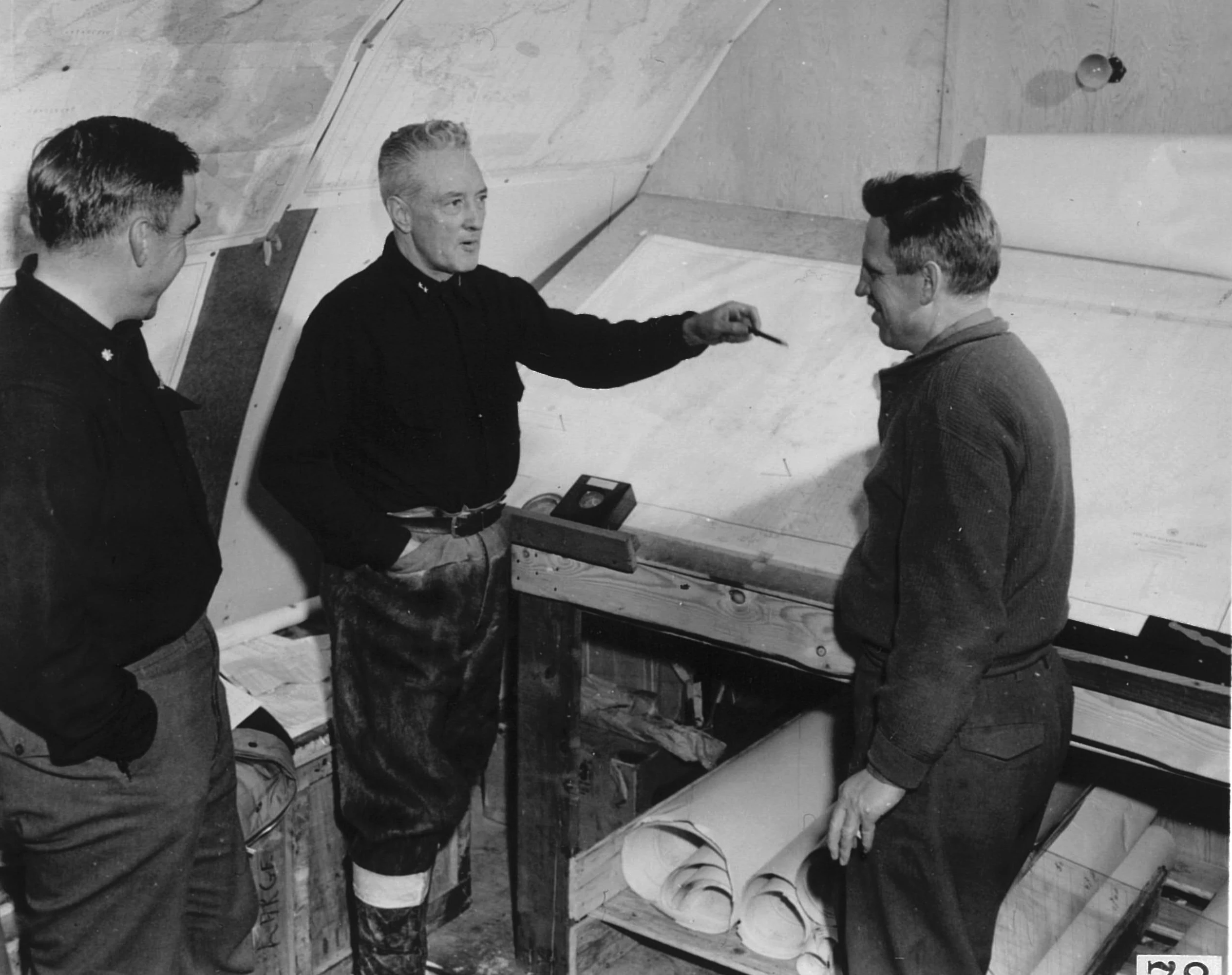
For those who read the treaty as a fence, the story starts earlier, with a naval expedition. In 1946 and 1947 the US Navy's Operation Highjump took ships, aircraft and men to the Antarctic coast, with Admiral Richard E. Byrd among its leaders. On 5 March 1947 the Chilean newspaper El Mercurio printed an interview with Byrd. In the Spanish transcribed by the writer Michael Heiser, Byrd warned that the United States could be attacked by "aviones que pueden volar sobre uno o los dos polos," planes that can fly over one or both poles. The version that has travelled furthest in English is stronger: the United States "would be attacked by flying objects which could fly from pole to pole at incredible speeds."
Eleven years later, in 1958, a year before the conference, the United States exploded three nuclear weapons in the far South Atlantic in a classified test, Operation Argus. A year later came the treaty.
The flat-earth reading reaches further back. Samuel Rowbotham's Zetetic Astronomy of 1865 described the south not as a pole but as a ring: "the south is the vast icy boundary of the world." Eric Dubay, in a 2018 list of two hundred proofs, wrote of Antarctica's "guarded 'no-fly' zones" and "heavily-enforced flight restrictions." On that reading the treaty is the legal fence around the wall, and the flat map of the world most often shown is Gleason's map, patented in the 1890s.
Other readers have put Nazi bases, hollow-earth openings and buried pyramids under the ice. The structure is the same each time: a place where access is managed, so what is there cannot be checked by just anyone.
If the treaty guards something
Set aside for a moment whether it is true. Ask the better question. What kind of world are we living in if it is?
It would mean the most remote continent is the most carefully managed secret on Earth, and that an early Cold War agreement, signed by both superpowers in the same room, was written to keep something out of sight rather than to keep weapons out.
Which would mean the map in every classroom is incomplete. On the flat-earth reading, the shape of the world itself; on the hidden-base readings, what was built there, and by whom.
It would mean the story most of our species has been told about its own planet is incomplete, and that the governments that run the treaty know it.
And it would leave a date in front of us. Under the environmental protocol that bans mining on the continent, any of the treaty's consultative governments can ask for a review from 2048. What gets reviewed, on this reading, would be more than a mining ban.
What the record shows
The standard account, held by the governments that signed it and the historians of the period, is that the Antarctic Treaty was an early Cold War arms-control agreement: it kept a contested continent out of the arms race, froze rather than settled seven claims, and built in a way to check.
The checking is on the record. In November 2006 a United States team inspected six stations run by the United Kingdom, Chile, Germany, Argentina, Russia and China, and three tourist ships. Its report says: "The Inspection Team found no arms violations, storage or disposal of hazardous or radioactive materials, or activities with military implications." Australia says its teams have carried out inspections on twelve occasions since 1963.
People go. In the 2023-24 season, 122,072 visitors went to Antarctica with operators of the International Association of Antarctica Tour Operators, most of them by ship, most voyages leaving from Ushuaia in Argentina. National programmes run 114 facilities, 44 of them all year, in the list published by their council, COMNAP. In December 2024 a group including flat-earth proponents travelled to Union Glacier, near 79 degrees south, to watch the sun stay up for twenty-four hours, and, the site Explorersweb reported, "observed the 24-hour sun firsthand."
On Highjump, the polar historians Summerhayes and Beeching concluded in 2007 that it was designed to train the US Navy for a possible war with the Soviet Union in the Arctic, and that Argus took place over the ocean more than 2,000 kilometres north of the continent. The ice wall, on this account, is the seaward edge of the ice shelves. And on 2048, the treaty's secretariat says reports that the protocol "expires" then are "a misinterpretation": it is the date from which a review may be requested.
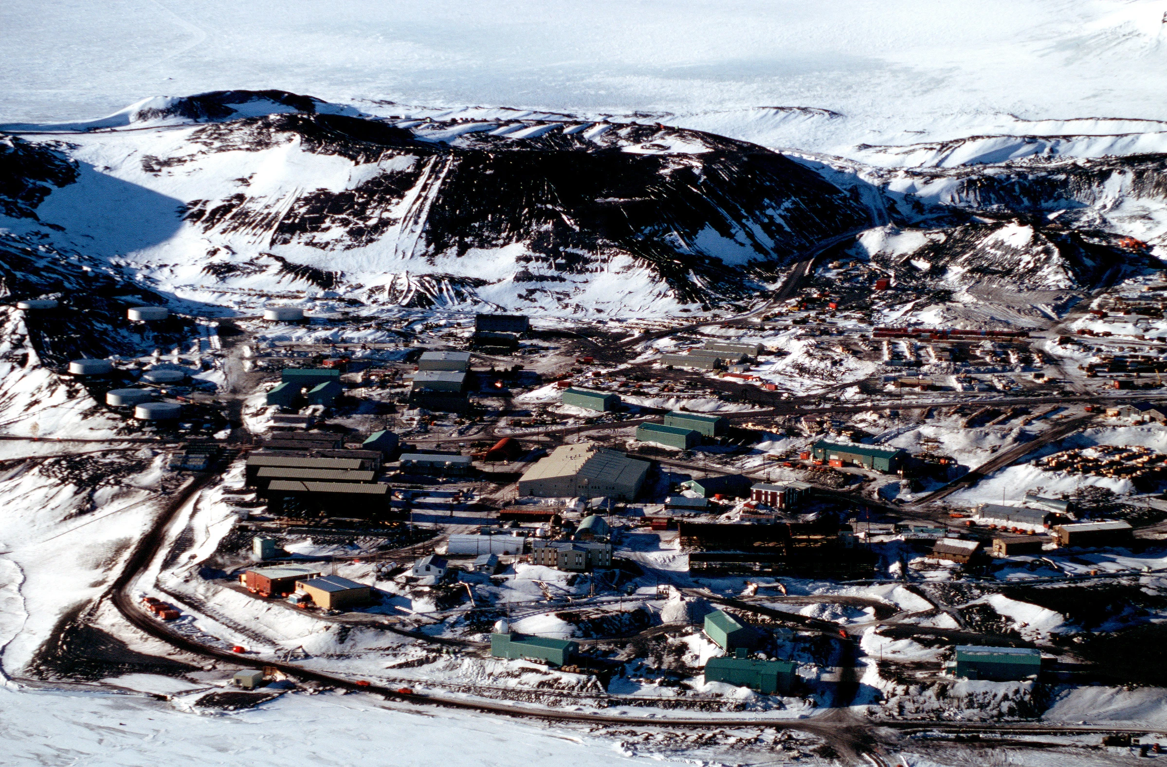
What the inspections do not reach
Inspection is a sample. The 2006 report says so itself: "only a small proportion of the stations and tourist vessels in Antarctica were inspected." A report shows what one team saw at certain stations on certain days, not a whole continent.
The treaty also lets the military in. Article I allows military personnel and equipment for science, and many stations are run by armed forces; the 2006 report notes that one of the stations it visited, O'Higgins, is "operated by the Chilean Army." The line between military logistics and military measures is left to declaration and to inspection.
The tourists see little of it. The tour operators' own figures put 98 percent of tourist voyages in the Antarctic Peninsula region, the long arm that reaches toward South America. Most of the continent is seen only by national programmes and from the air.
And Byrd's words remain unsettled. Both versions of the El Mercurio interview circulate as later transcriptions, and Official X did not find a scan of the page of 5 March 1947 online.
Still under the treaty
The treaty has grown. It now has 58 parties, 29 of them with a vote in its consultative meetings, the latest to join being the United Arab Emirates in December 2024. The environmental protocol signed in Madrid in 1991 and in force since 1998 designates the continent "a natural reserve, devoted to peace and science" and bans "Any activity relating to mineral resources, other than scientific research." Nothing in the treaty itself sets an end date.
Long before anyone reached it, a southern continent appeared on maps, among them Oronce Fine's map of 1531, and it has been argued over ever since.
Which leaves one sheet of newsprint.
A Santiago newspaper of Wednesday, 5 March 1947, with an American admiral's words on it, in Spanish, about what could come over the poles.
The words that page printed would settle what Byrd was quoted as saying. They would not, by themselves, show what is or is not under the ice. That would take something else: an installation no government declared, documented by records of its own.
Questions This Leaves You With
Is there anything a person actually does with this?
You can go. The treaty does not close the continent to visitors: more than 120,000 people went in one recent season, most by ship from Argentina, and the treaty's own text is short and free to read. Nothing here asks you to prepare for anything. Anyone selling a date for what the treaty hides, or a certainty that it hides nothing, is selling something. What you can do is read the articles and decide what you think they are for.
Does this sit against a religious account of the world?
It cuts both ways, and serious people have argued each. Some readers hear in a world with an icy boundary an echo of the language of scripture; others, with equal faith, see no conflict at all between scripture and a globe with a frozen pole. This site will not tell you which way it falls for you. The treaty itself says nothing about the shape of the world, only about who may do what there. Whatever you conclude about the shape of the world, the treaty text is the same short document for everyone who reads it.
Does this change what a human life is?
Hold a human life, a few decades, against a continent of ice. Read one way, that makes a life very small, a footprint on something that was there long before and will outlast us. Read the other way, it makes it rare: a few generations of people agreed, for the first time, to leave a whole continent to peace and science, and every person who goes there now walks under that agreement. Which did you feel when you read the stakes?
What would change your mind, in either direction?
Name it now, before you are committed. Toward concealment: a published inspection, satellite record or document describing a military facility a party never declared. The 1947 El Mercurio page would settle only what Byrd was quoted as saying, in either direction. Toward the plain reading: inspection reports from many parties, covering the interior stations as well as the coast, all finding the same. Notice that both lists point at documents that can be read, not at anyone's summary.
How much of the continent has an inspector actually seen?
Article VII lets observers go anywhere at any time, and inspections are published: a US team in 2006, Australian teams on twelve occasions since 1963, others besides. But the 2006 report itself says only a small share of stations was inspected, and the reports are scattered across many governments and many years. A single count of every inspection since 1961, with every station it reached, would show where the right of access has been used and where it has not. That count is not in the sources this investigation found. It is a real gap, and a document-sized one.
Sources
- The Antarctic Treaty, text (1959) Antarctic Treaty Secretariat
- The Antarctic Treaty, certified true copy (US Department of State, 2 December 1959) Antarctic Treaty Secretariat
- FRUS 1958-60 vol. II, doc. 325, Editorial Note Office of the Historian, US Department of State
- FRUS 1961-63 vol. XXV, doc. 454 (1961) Office of the Historian, US Department of State
- Statement by the President upon the entry into force of the Antarctic Treaty (23 June 1961) The American Presidency Project
- The Antarctic Treaty Antarctic Treaty Secretariat
- Michael S. Heiser, The Admiral Byrd / Operation Highjump story (2015) Michael S. Heiser Foundation
- Summerhayes and Beeching, Hitler's Antarctic base: the myth and the reality, Polar Record 43 (2007) Cambridge University Press
- Samuel Rowbotham, Zetetic Astronomy: Earth not a Globe! (1865) Project Gutenberg
- Eric Dubay, 200 Proofs Earth is Not a Spinning Ball (2018) Eric Dubay
- Protocol on Environmental Protection to the Antarctic Treaty (1991) Antarctic Treaty Secretariat
- The Protocol on Environmental Protection Antarctic Treaty Secretariat
- The Madrid Protocol Australian Antarctic Division
- United States Antarctic Inspection Team 2006, Report of Inspections under Article VII (2007) US Department of State / ATCM 30
- Treaty inspections Australian Antarctic Division
- IAATO Report 2023-24, ATCM 46 IP101 International Association of Antarctica Tour Operators
- IAATO Overview of Antarctic Vessel Tourism 2023-24, IP102 rev.1 International Association of Antarctica Tour Operators
- Antarctic Facilities list (November 2024) COMNAP
- Flat earthers puzzled by observable evidence (20 December 2024) Explorersweb
- Parties Antarctic Treaty Secretariat
- Edge of the Ross Ice Shelf (December 1997) NOAA Photo Library via Wikimedia Commons
- US Patent 497,917, Time-Chart, Alexander Gleason (filed 1892, granted 1893) Google Patents
- Rear Admiral Richard Byrd, Operation Highjump US Navy via Wikimedia Commons

