All articles
Every article in The Shape of the World, newest first.
-
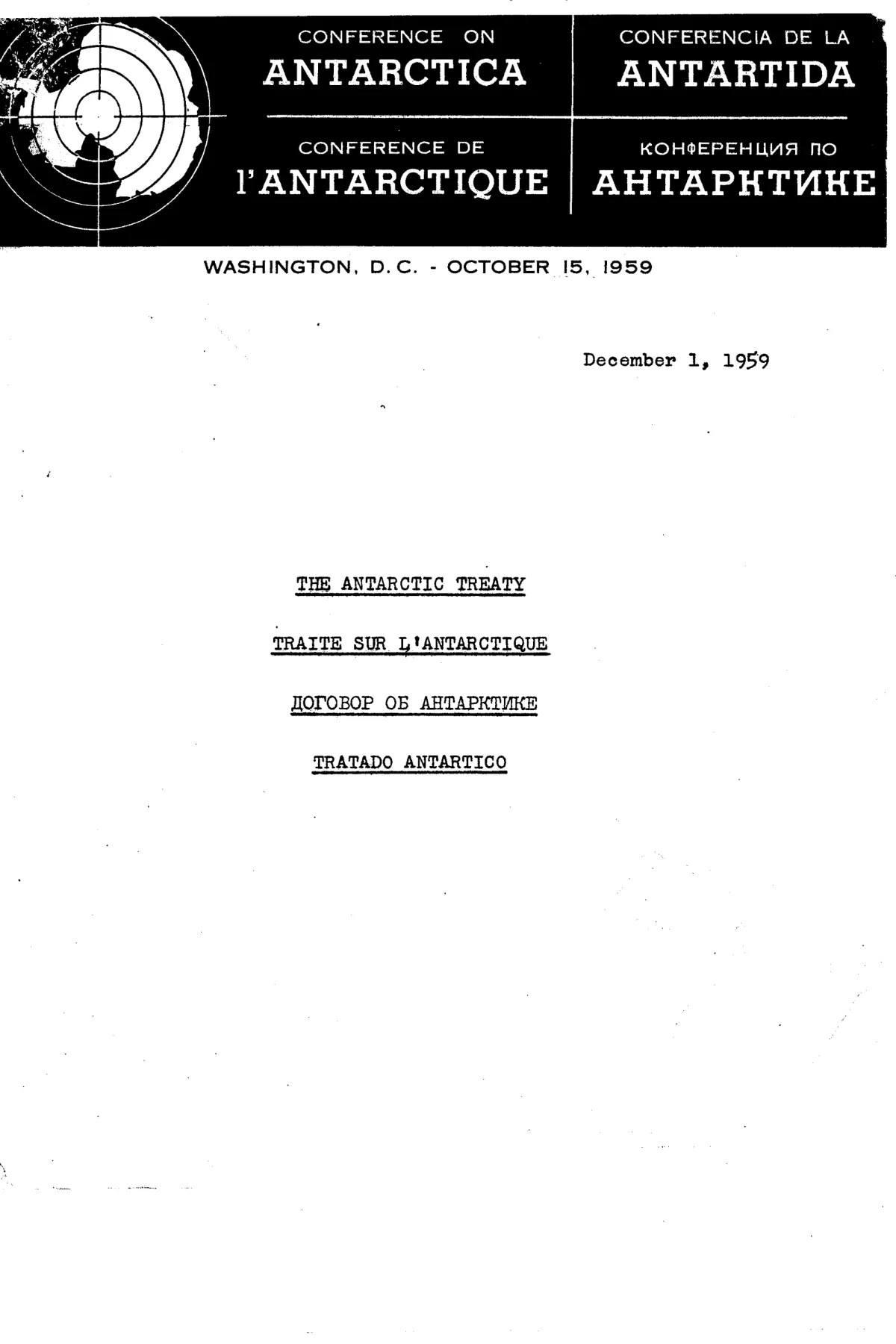
The Antarctic Treaty and the Continent Nobody May Claim
The Antarctic Treaty was signed in Washington on 1 December 1959 by twelve governments. It reserves the continent for peaceful purposes, freezes every territorial claim and lets observers inspect anything, anywhere, at any time. Readers of Admiral Byrd's 1947 warning, of the flat-earth ice wall and of hidden-base stories see in it a fence. This investigation reads the treaty's own articles, the record of who goes there, and what is still unanswered.
-
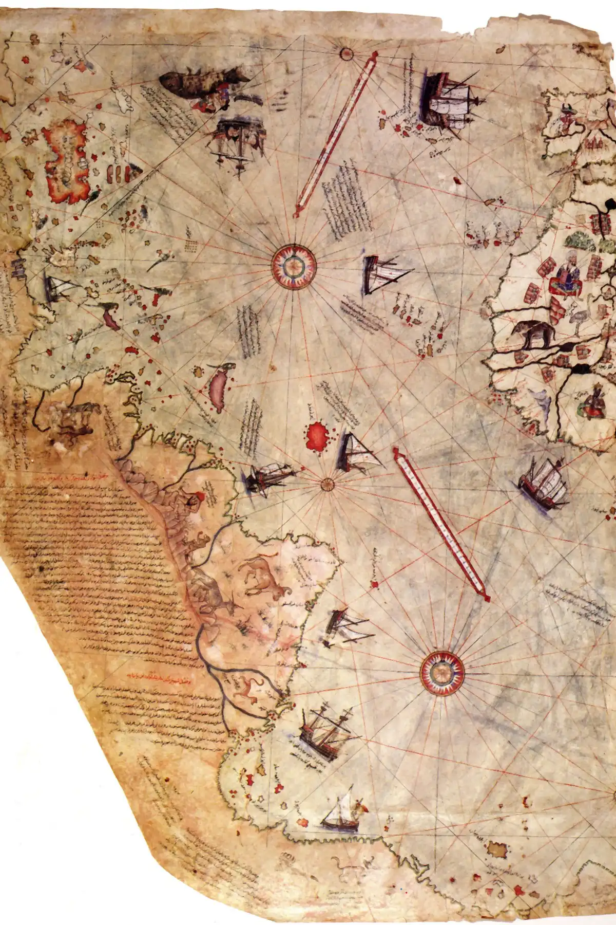
The Piri Reis Map and the Coast That Runs Off the Edge
In 1513 the Ottoman sea captain Piri Reis drew a chart of the Atlantic on gazelle skin, and along its bottom edge a coastline turns east and runs off the sheet. In the 1960s the historian Charles Hapgood read that coast as Antarctica drawn before the ice, and an Air Force squadron he wrote to called it reasonable. Map historians read it another way. This is what the map shows, what each reading rests on, and what is still unknown.
-
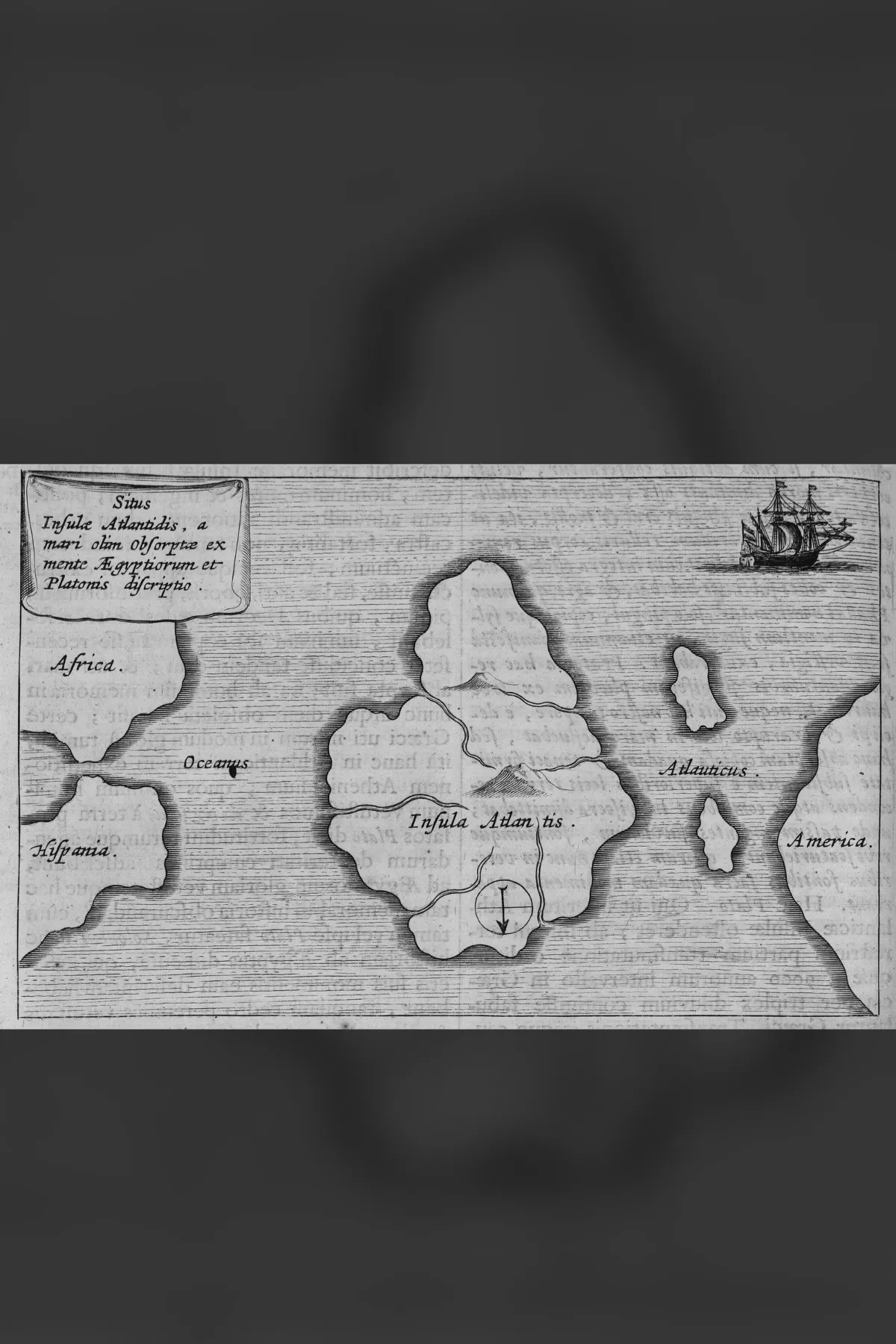
Atlantis, the Priests of Sais and the Story Plato Called True
Atlantis appears first in two dialogues by Plato, the Timaeus and the Critias: an island beyond the Pillars of Heracles, larger than Libya and Asia together, that sank in a single day and night. Plato's speaker says the story came from priests at Sais in Egypt, through the Athenian lawgiver Solon. This investigation follows that chain, the readers who took it as history, the scholars who read it as Plato's invention, and what is still open.
-
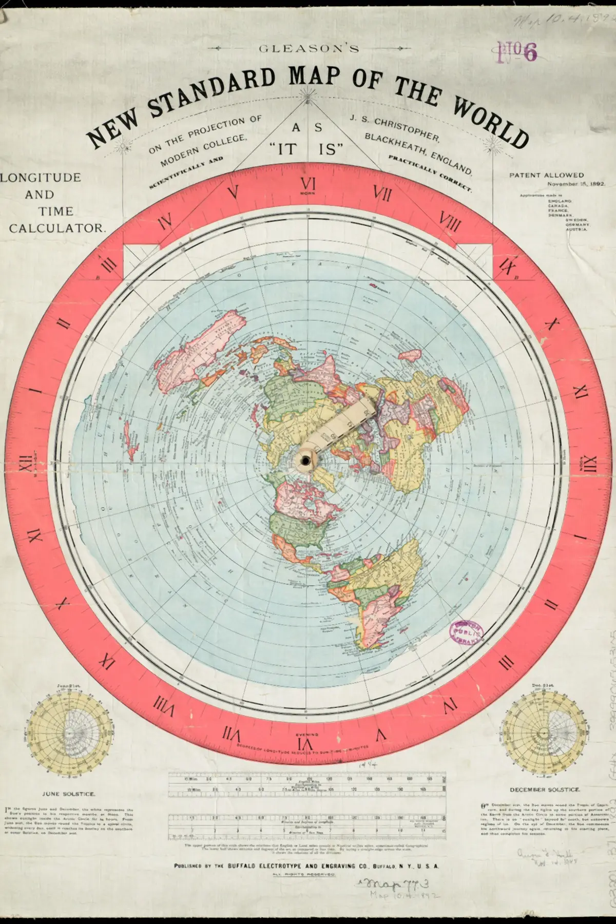
The Gleason Map and What a Patent Actually Certifies
Alexander Gleason's New Standard Map of the World (Buffalo, 1892) carries US Patent 497,917, and the number can be read as government proof of a flat earth. This article sets out that reading in its strongest form and what it would mean, reads the patent, the map and Gleason's own book against it, and ends on what they leave open: what Gleason believed he had patented.
-
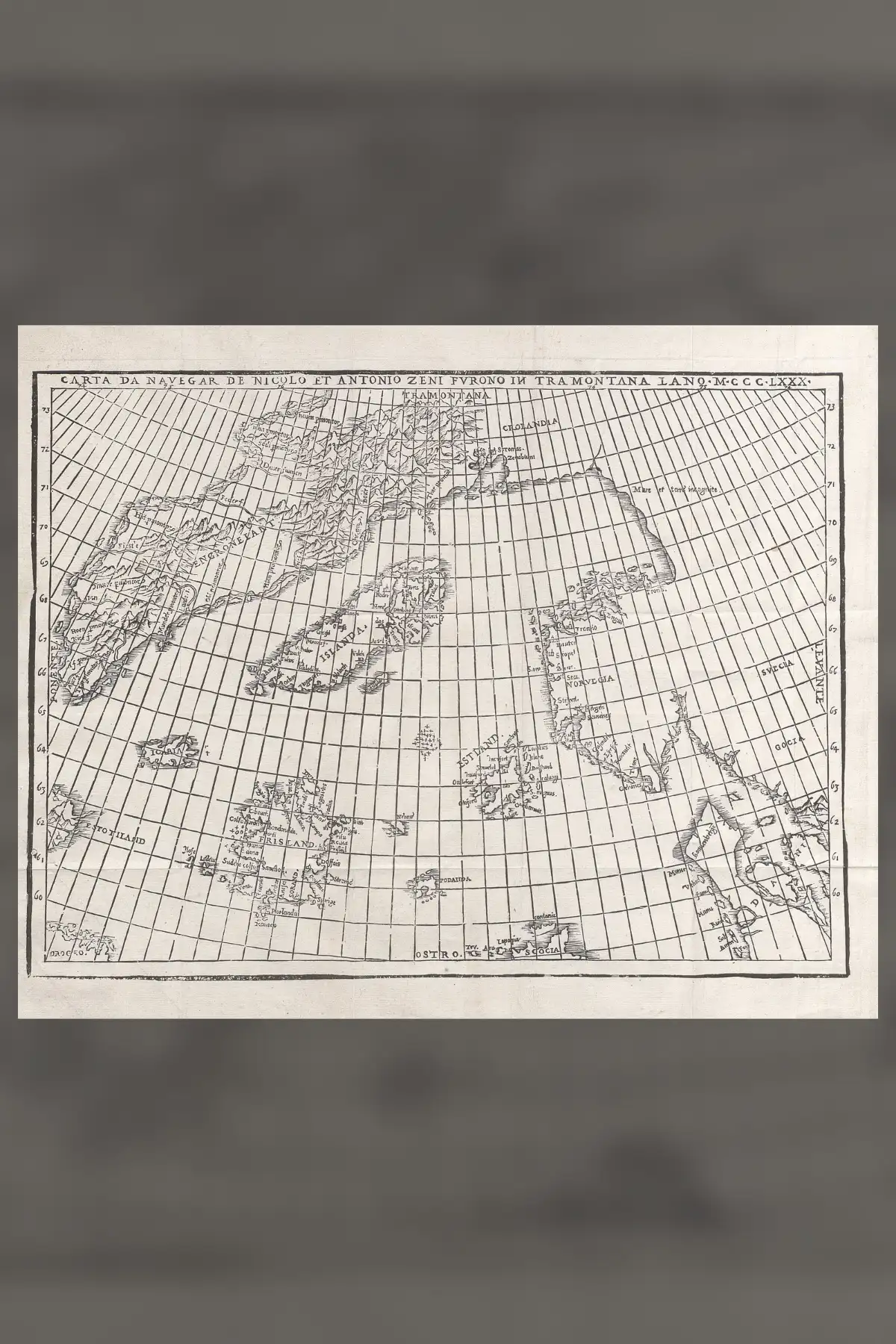
The Zeno Chart of 1558 and a Voyage Claimed for 1380
The Zeno chart is a woodcut sea map printed in Venice in 1558 by Nicolo Zeno the younger, with letters he said described his ancestors' northern voyages around 1380. Forster, Major and Pohl read it as a real record. This article sets out the letters, the case for them, the 1898 indictment, and a Greenland hot spring that its critics and defenders still read differently.
-

The 1531 Map That Named a Continent Nobody Had Seen
In 1531 a Paris mathematician printed a world map shaped like two hearts, with a great southern continent captioned recently discovered. Antarctica was first sighted in 1820. Where the shape came from is better documented than its legend.