Terra Australis
For centuries geographers drew a great southern continent before anyone had seen it, and one French map of the 1750s divided it with a frozen sea.
-
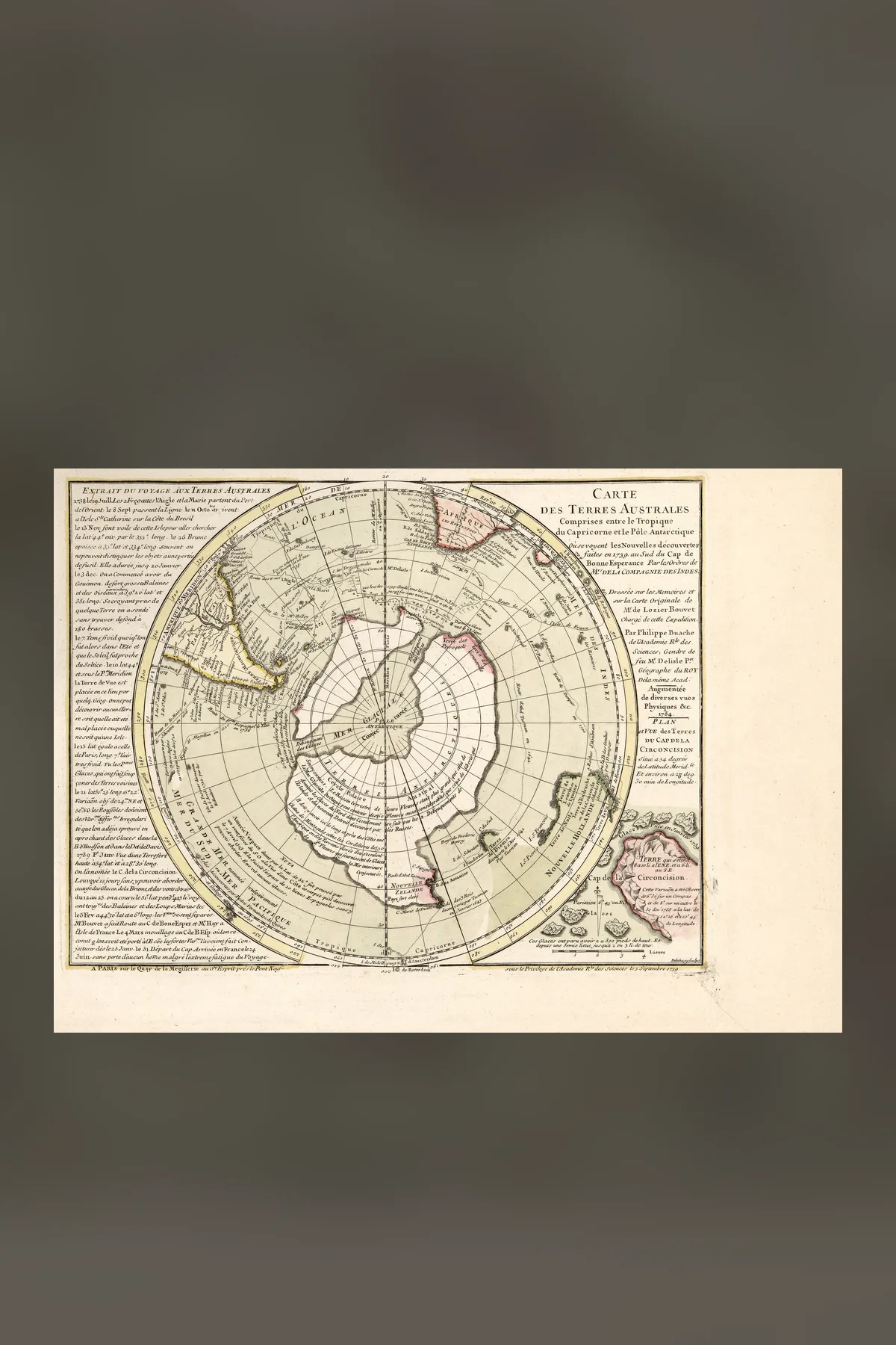
Buache's Map and the Sea Across Antarctica
Philippe Buache's Carte des Terres Australes, first printed in 1739 and enlarged in a state dated 1754, shows a continent around the South Pole divided by a frozen inland sea. Charles Hapgood and Graham Hancock read it as Antarctica drawn before the ice. This investigation reads both states of the map, Buache's own memoir, and what modern surveys of the rock under the ice show.