The Vinland Map
A world map on parchment, revealed by Yale in 1965, showed Vinland west of Greenland decades before Columbus sailed.
-
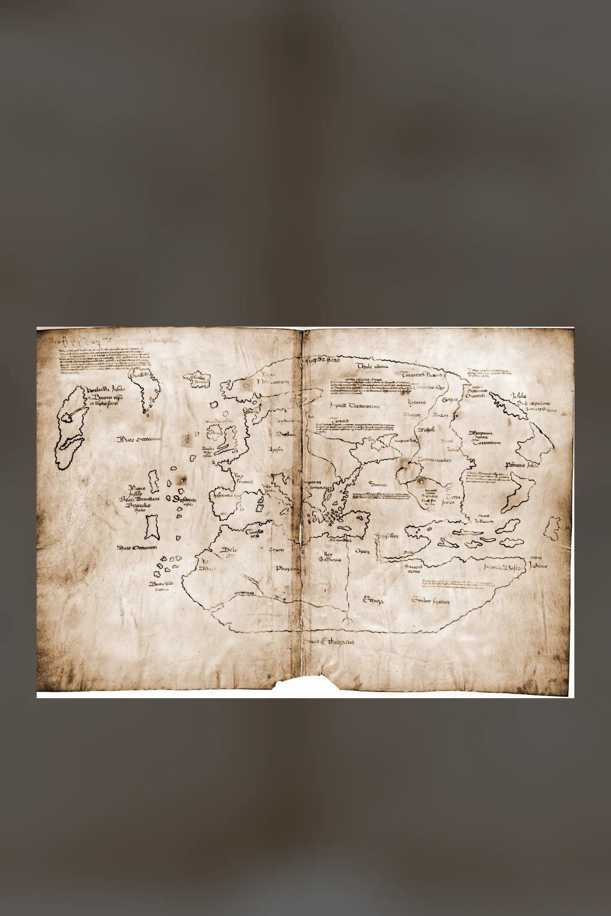
The Vinland Map and the Titanium in the Ink
The Vinland Map is a world map on parchment at Yale's Beinecke Library, announced in 1965 as a copy of about 1440 showing Vinland, west of Greenland, decades before Columbus. Its parchment dates to the 1430s, and for fifty years scientists disagreed about its ink. This investigation follows the map from a 1957 bookseller to Yale's 2021 finding of a 1920s titanium pigment in its lines, and asks what is still unknown.